Fukuoka Airport
Facts on FUK
The airfield was built as Mushiroda in 1943-44 by Allied prisoners of war on former rice paddy, for the Imperial Japanese Army Air Force. The old paddy's high water table was the first problem: heavy rain flooded the runway, making it unsafe for the trainee pilots first posted there.
Source: Wikipedia
The city that gives the airport its name was itself named after somewhere else. Fukuoka (福岡) joins fuku, "good fortune", to oka, "hill"; the daimyō Kuroda Nagamasa applied it to his new castle town in 1600, borrowing it from the Fukuoka district of Bizen Province, his clan's ancestral home.
Source: Wikipedia
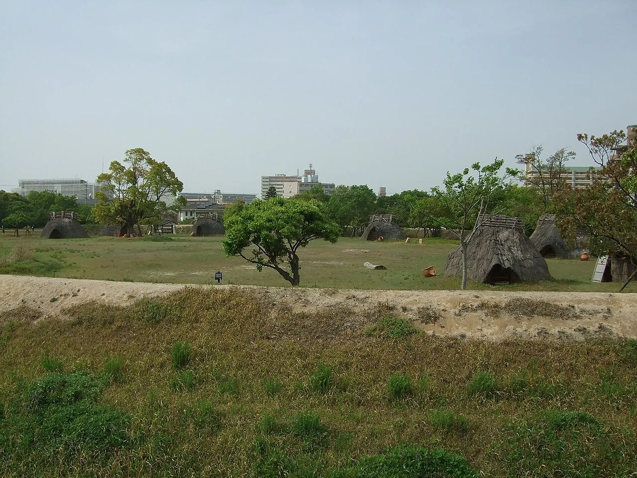
For 27 years the airport was called Itazuke, after the Hakata-ku locality it sits beside. The Itazuke Site there is one of the two oldest known rice-growing village sites in Japan and its oldest known moated settlement — an egg-shaped moat 110 m across, made a National Historic Site in 1976.
Source: Wikipedia
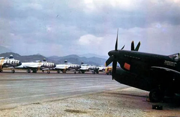
As Itazuke Air Base it was the largest USAF base on Kyushu and the closest to Korea. On 26 June 1950, the day after North Korea invaded, its 8th Fighter Wing covered the evacuation of Americans from Korea, and the war's first aerial victory went to an F-82 flown from Itazuke.
Source: Wikipedia
On 2 June 1968 a USAF RF-4C Phantom crashed into a building under construction at Kyushu University's Hakozaki campus. Nobody on the ground was hurt, but students refused to let the wreck be removed; it hung there for months and helped ignite a year of protests. It came down in January 1969.
Source: Wikipedia
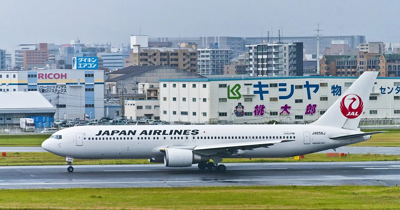
Fukuoka is unusually close in: the airport sits 1.6 nautical miles (3.0 km) east of Hakata Station, and the subway from the domestic terminal reaches the business district in about ten minutes. The trade-off is a night curfew, 22:00 to 07:00, imposed at the request of local residents.
Source: Wikipedia
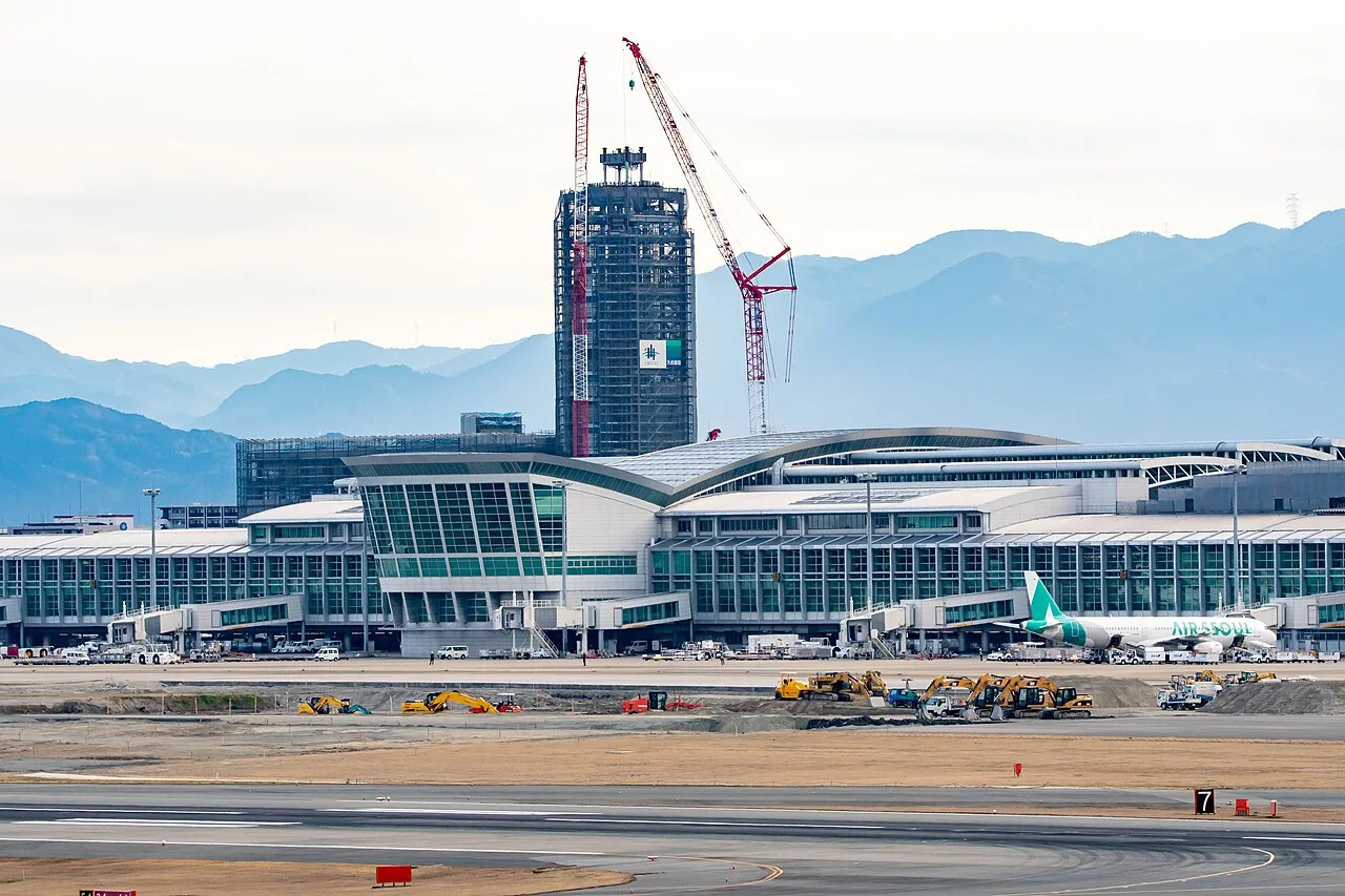
Squeezed into 345 hectares (853 acres), the airport ran on one runway until 20 March 2025, when a second, 2,500 m runway opened for international departures only. The two are so close together that they cannot be used at the same time.
Source: Wikipedia
Congestion is official. Fukuoka passed its capacity of 145,000 annual flights in 2012 as low-cost carriers arrived, and Japan's Civil Aviation Bureau designated it a "congested airport" — IATA Level 3, with slots and five-year permits — from late March 2016. It carried 26,765,836 passengers in 2024.
Source: Wikipedia